Hebron Records building
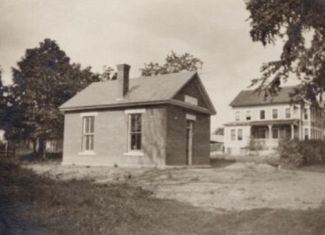
Records Building 1910
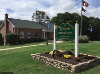
Town Offices 1960
These brick buildings date from 1910 and 1960. They contain the records of Hebron from before 1708 to the present. These records list births, marriages and deaths as well as property sales. They provide a continuous record of change in Hebron over the past 300 years. By 1744 only 40 years after settlement, Hebron had over 150 families with 7, 8 or 9 children within its bounds. As a result, a once vast tract of land came to be divided up into smaller farm parcels.
Think about it
Hebron originally included parts of Marlborough and Andover. In 1744 Isaac Pinney drew a map of Hebron showing where families lived.
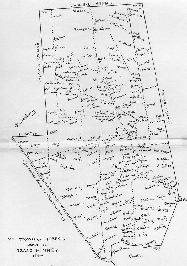
Many of the roads that go through town today are shown on the 1744 map. The center of town is marked by the lopsided rectangle in the center. Can you identify any roads that you use today that existed in 1744?
Where to go next
Look towards the Church of Hope to see where the Hendee House was located where Route 85 heads toward Gilead.

